


Think back to your school days. The teacher pulled down the big, colorful map of the world—the one with bold borders, familiar country shapes, and oceans neatly spread across the page. You probably never questioned it. After all, why would you? It was “official.” It was “science.”
But what if I told you that map—the one burned into your memory—is one of the greatest lies ever sold to humanity?
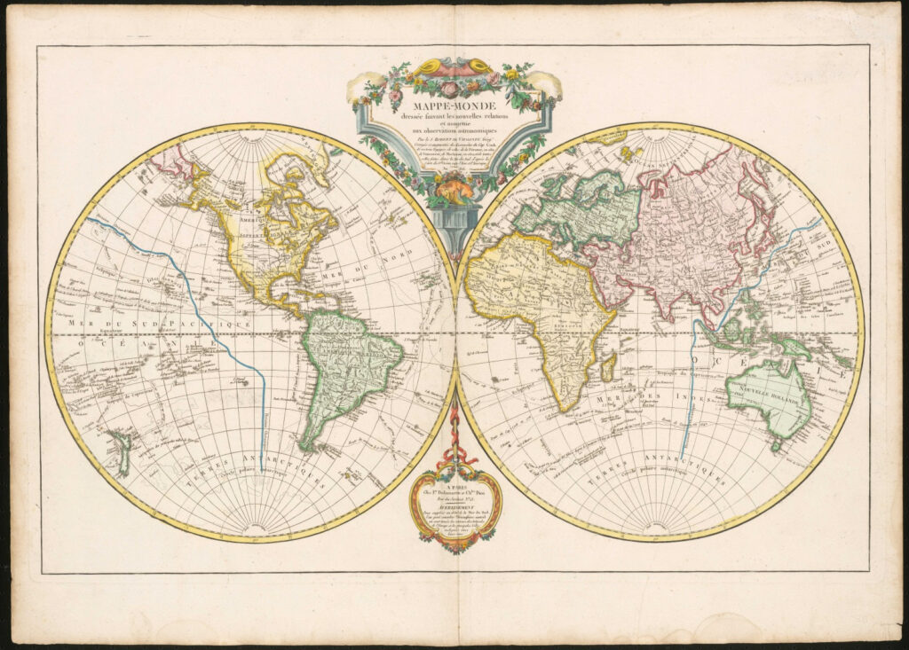
The most common world map used in schools is the Mercator projection, created in 1569 by a Flemish cartographer for navigation. What they didn’t tell you in class is that this map massively distorts the size of continents.
- Greenland looks bigger than Africa. In reality, Africa is 14 times larger.
- Europe and North America are enlarged, while Africa, South America, and Oceania—are shrunk.
- Antarctica stretches across the bottom like some endless wasteland, when in truth its shape is nothing like what we’ve been shown.
Nowhere is this deception more glaring than Antarctica—a land shrouded in secrecy, locked behind treaties, and buried under a massive cover-up that suggests we’re not being told what truly lies at the bottom of the world.
And this is the real story: the maps aren’t just wrong, they’re tools of control, crafted to hide land, resources, and knowledge that the elites have decided must be kept from the rest of humanity.
The Hidden Layout of the Earth
Some researchers argue that even beyond distortion, entire regions of the Earth have been concealed. Take a closer look at old maps—some show extra continents, massive landmasses beyond Antarctica, or even forgotten islands that later “disappeared” from mainstream charts.


Why erase them? Control. If people believed there were vast unexplored lands beyond the “edges” of the world map, questions about borders, resources, and even the very shape of the Earth would explode. Better to lock the mind into a fixed image: a globe with nothing left to discover.
Why the Lie Matters
Maps are not neutral. They shape how we see ourselves, our place in the world, and who holds power. By manipulating geography:
- Empires justified colonization by literally enlarging themselves on paper.
- Global trade routes and resources were mapped for exploitation, while indigenous knowledge was erased.
- Today, Google Earth and satellite maps are tightly controlled, with restricted areas blurred or blacked out.
Ask yourself: if the maps they showed us were truthful, why do they keep “updating” them? Why do we still discover islands that “weren’t there” before? Why does Antarctica remain a no-go zone for almost everyone on Earth?


Reclaiming the Truth
The first step is questioning the schoolhouse lies. The world map you grew up with wasn’t about teaching you geography—it was about teaching you hierarchy. It was about showing you who matters, and who doesn’t.
We know the Earth isn’t what we’ve been told. There’s more land, more history, and more truth hidden just beyond the edges of that old classroom map.
